
Search
Categories
Airframe Parts
Avionics
Batteries
Books & Videos
Charts
Composite Materials
Covering Supplies
Electrical
ELTs
Engine Parts
Flight Training
Flight Planning
Gifts
GPS
Hardware
Headsets
Instruments
Landing Gear
Metals & Plastics
Pilot Supplies
Radios
Tires & Tubes
Tools
Wood Products
Kits & Plans
FBO Supplies
Liqui Moly AERO
Catalogs

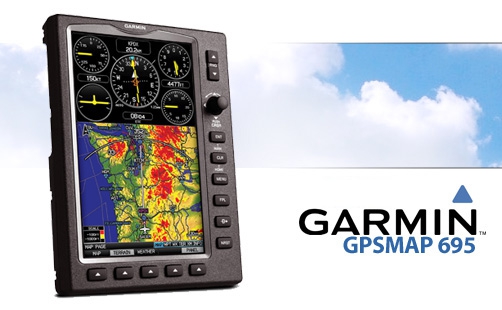
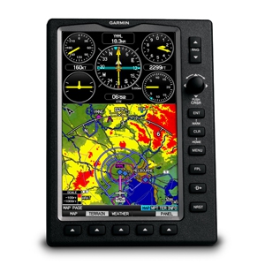
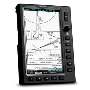
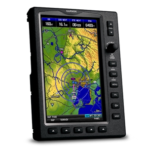
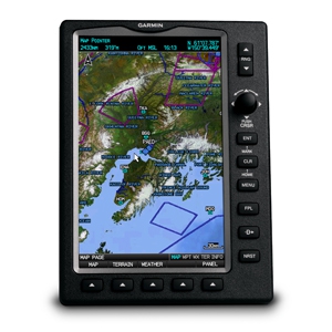
GARMIN GPSMAP 695 AMERICAS
| Part number: | 11-07023 |
This product is no longer available
| Unit | EA |
| Hazardous | No |
| Oversize | No |
| Weight | 3.357 kg |
| Manufacturer | |
| Manufacturer P/N | |
| GTIN | |
| Core Charge | Yes (add to cart to see price) |
| 110V device | Yes |
This part is included in the following categories:

Log in
Shopping cart is empty
Subtotal incl. VAT:0 EUR
Latest News


 | Call us at +49 7634 9057700 from 08:00 to 13:00 CET |


